

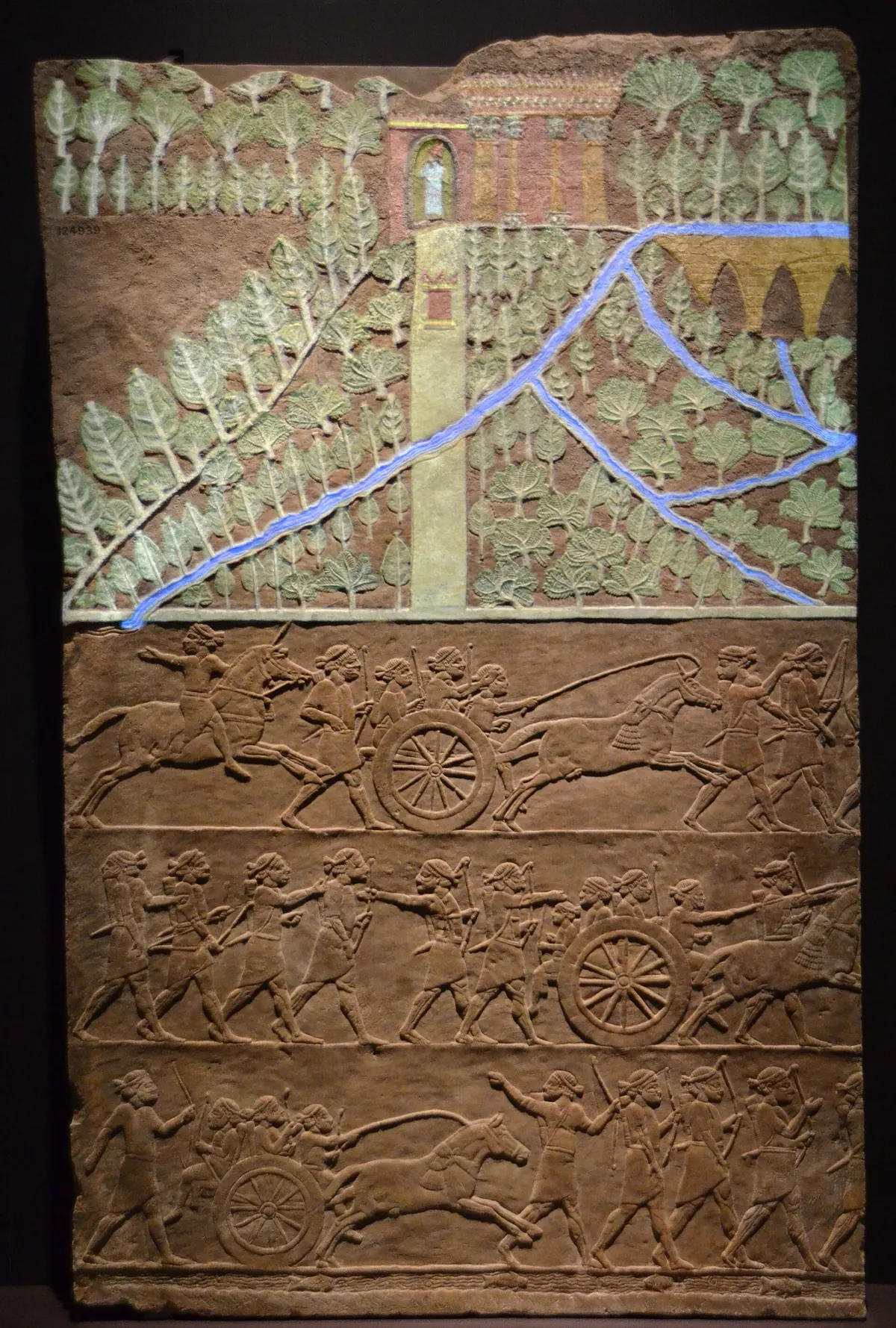
Two rivers, but many agricultural environments
Mesopotamia contained areas with different farming possibilities. Conditions in its northern zones cannot simply be projected onto the dry southern plains. In the Tigris and Euphrates valleys, access to water depended on river courses, bank elevations and seasonal changes in flow. A map showing only the modern rivers cannot capture the full history, because both major channels and their branches shifted over time.
The alluvial plain was not a uniform empty surface waiting for canals. It included natural levees, depressions and wetlands. Small differences in height could determine whether water would reach a field by gravity. From a farmer’s perspective, the important relationship was therefore between a plot and a particular watercourse, rather than its simple distance from a major river. Understanding those local differences is essential when reconstructing how land could have been cultivated.23
The Ubaid period and the limits of early chronology
During the Ubaid period, communities in southern Mesopotamia combined cultivation of irrigated land with resources from rivers and wetlands. The sixth and fifth millennia BCE mark an important stage in this development. They are not the date of a single invention. The period takes its name from an archaeological site, and its chronological boundaries vary with region and the system used by researchers.
The earliest settlements should not be equated with every channel visible on a satellite image today. A settlement could exist for centuries while its surroundings were repeatedly altered. Features occurring close together need not have been used simultaneously. Historians must therefore distinguish the beginnings of irrigated agriculture from the age of a particular surviving network. Otherwise, an accurate date for one settlement can become a misleading label for an entire landscape.13
From a natural overflow to an artificial canal
When a river floods, it may break through its natural levee and spread water across the surrounding plain. Such breaches can create channels and fans of sediment. People could exploit these existing features, enlarge an outlet or extend it with an excavated ditch. The boundary between natural and artificial arrangements is therefore not always sharp: infrastructure did not necessarily begin with the construction of an entirely new watercourse.
Practical knowledge of terrain was crucial. Water follows a gradient, but obstacles, sediment and vegetation alter its movement. A small intervention might serve a field beside a river, while reaching a larger area required longer connections. There is no reason to assume that every local system passed through exactly the same sequence of stages. Different solutions could develop alongside one another, adapting to different opportunities in the landscape and to experience accumulated across generations.3
An irrigation network performs several connected tasks
To understand a network, distinguish water intake, conveyance, distribution and application within the field. A main canal and a small field ditch do not perform identical tasks. Reaching a farm boundary is not the same as delivering water to the plants. Excess water also needs somewhere to go. This general model helps readers interpret ancient landscapes without suggesting that every prehistoric village possessed all the structures familiar from later irrigation systems.
A simple example illustrates the relationship between these functions. A clear field ditch is ineffective if its connection to the river has failed. Equally, a large main canal does not ensure good watering if distribution bypasses some fields. When assessing a historical arrangement, the relevant question concerns the operation of the complete route. The impressive length of the largest excavation is only one part of that explanation, rather than a sufficient measure of effectiveness.5
Eridu: testing satellite observations on the ground
A study published in 2025 identified more than 200 main and large canals and over 4000 smaller branches in the Eridu region. Its authors combined historic CORONA satellite photography, newer high-resolution imagery, geomorphological analysis and field verification. Bringing these methods together allows researchers to check whether a line visible in an image corresponds to a recognisable feature on the ground and how it relates to surrounding landforms.
Those totals describe a mapped network with a long history. They do not mean that thousands of canals already existed simultaneously in the sixth millennium BCE. The region’s unusually good preservation is associated with changes in the course of the Euphrates and the subsequent reduction of occupation. The discovery demonstrates the potential scale of landscape research while underlining the need to date individual features, rather than assigning every part of the network a single ancient origin.3
Cooperation, maintenance and political authority
Water connects people whose fields lie in different parts of a network. A decision upstream can affect conditions downstream. Shared use therefore requires some form of coordination, but it does not predetermine its structure. Households, neighbours, wider communities and institutions operating across several settlements can all participate at different levels. A canal alone cannot identify the people who controlled it or the rules under which it was maintained.
Stephanie Rost’s review demonstrates that state involvement in Mesopotamian water management varied over thousands of years. Centralised political power should not be inferred automatically from the existence of irrigation. It is a separate historical question requiring infrastructure to be considered alongside documents, landholding arrangements and evidence of labour. The need for cooperation is not proof that all irrigated societies followed one universal political model.4
Irrigation does not eliminate environmental risk
Irrigation water usually carries dissolved salts. As water evaporates or is taken up by plants, salts may remain in the soil. Their accumulation can make it harder for roots to obtain water. Drainage and ground conditions therefore matter alongside water supply. This is a general agricultural mechanism, not evidence that every ancient field in Mesopotamia became severely saline or that every irrigation project produced the same outcome.
To explain a particular site, the mechanism must be connected with local evidence. Establishing that salinisation is possible does not prove that it caused a settlement to be abandoned. Similarly, the absence of a surviving canal does not demonstrate that irrigation never occurred. Responsible interpretation distinguishes a plausible process from one supported by samples, dates and the arrangement of archaeological remains. This distinction prevents a useful environmental explanation from becoming an unsupported universal story.63
Why irrigation is a turning point in agricultural history
Irrigation altered the relationship between a field and its surroundings. Agricultural work involved not only sowing and harvesting but also maintaining a route through which water could arrive. Investment in a channel might remain useful beyond one growing season, while its consequences extended outside the plot of the person who dug it. The resulting landscape recorded repeated actions and dependencies between people occupying different positions within the system.
This did not create complete independence from nature. Farmers still confronted variable river flow, sediment deposition and changing channels. Irrigation widened the possibilities of cultivation while producing new obligations and vulnerabilities. The most revealing historical question is therefore not only “who invented the canal?”, but how successive communities learned to maintain a productive water landscape. That approach connects engineering with everyday work without treating either technology or environment as an all-purpose explanation of social change.34
Questions and answers
Did the Sumerians invent irrigation?
No single group can be identified as the inventor of irrigation as a whole. Water management developed gradually in Mesopotamia, beginning before many later cities and states. Other regions also developed their own traditions of managing water for cultivation.13
Are all the canals around Eridu 8000 years old?
No. The mapped network reflects a long history of land use. The age of the earliest settlement does not determine the age of every channel. Individual dating and investigation of the sequence of landscape changes are necessary.3
What is the difference between irrigation and drainage?
Irrigation supplies water required by crops; drainage removes excess water. Both can form part of one water-management system. Delivering a large quantity of water without considering how it can leave is not, by itself, evidence of an effective arrangement.5
Sources
- The Metropolitan Museum of Art, Department of Ancient Near Eastern Art (2003). The Ubaid Period (5500–4000 B.C.)
- The Metropolitan Museum of Art (2000). Mesopotamia, 8000–2000 B.C.
- Jotheri, J. et al. (2025). Identifying the preserved network of irrigation canals in the Eridu region, southern Mesopotamia CC BY 4.0
- Rost, S. (2017). Water management in Mesopotamia from the sixth till the first millennium B.C.
- Brouwer, C., Goffeau, A. and Heibloem, M. · FAO (1985). Irrigation Water Management: Introduction to Irrigation — Chapter 5, Irrigation System
- Brouwer, C., Goffeau, A. and Heibloem, M. · FAO (1985). Irrigation Water Management: Introduction to Irrigation — Chapter 7, Salty Soils
Approximate dates (c.) describe the nature of the evidence: archaeology dates settlements, layers and remains, not single moments of invention.